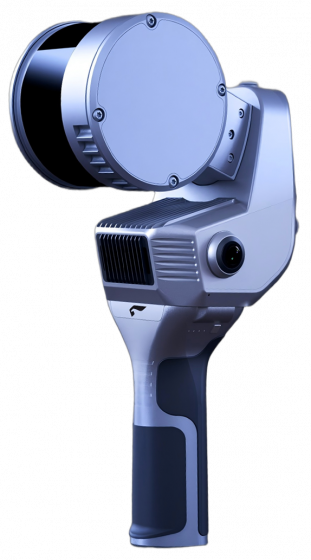


MetaCam Air 2
Ultra-light design with professional-grade performance. Enhanced panoramic imaging, field-proven SOTA-SLAM algorithm, TimeSync 3.0 microsecond-level sensor synchronization, and 3DGS technology deliver centimeter-level accuracy and vivid spatial reconstruction, bringing effortless efficiency to ever scenario.
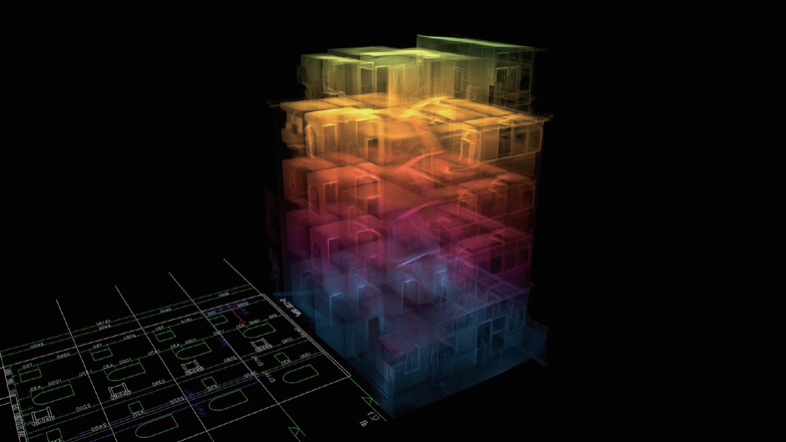
Next-Level Visualization
Flagship panoramic cameras with 3DGS technology enable seamless view switching. One-click expor to JPG, LAS, RCP, and PLY.
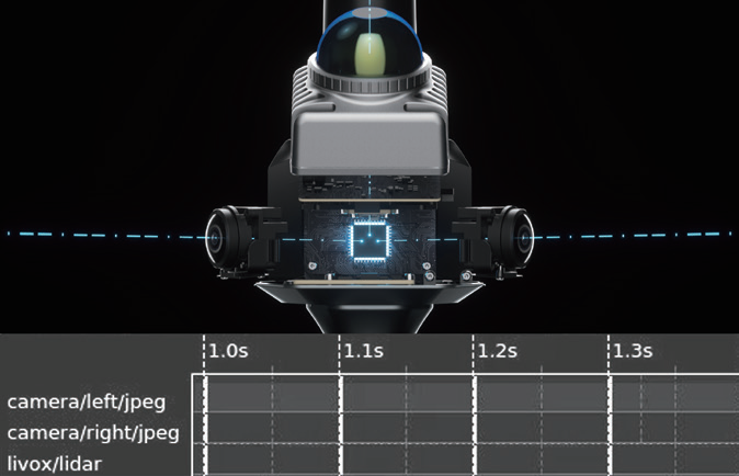
TimeSync 3.0, True Microsecond Sync
Hardware-level multi-sensor sync achieves microsecond alignment, ensuring native data consistency and precise, reliable fusion.
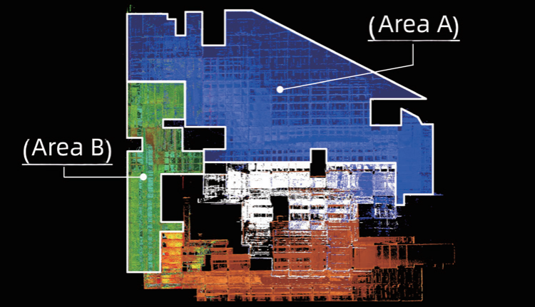
AI-Powered SOTA-SLAM
Trained on 2,000+ devices and 100 million m² of real-world data, AI-powered SOTA-SLAM (Spatial Omni-Temporal Adaptive) algorithm ensures robust mapping.
Seamless Resume Scan
Supports resume scanning and auto-stitching. No interruptions, no power worries, handle large-scale jobs with ease and higher efficiency.
Applications
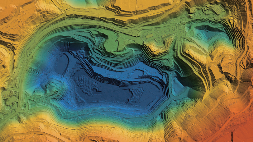
Sureying & Mapping
Public Safety

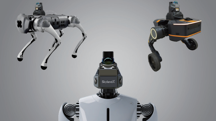
Robotics
Smar Manufacturing

Softwares
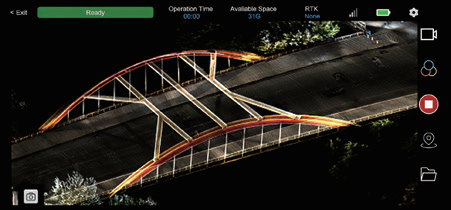
MetaCam Go
Real-time point cloud preview, quick quality checks, and device status at a glance.
MetaCam Studio
One-click point cloud processing with optimization, editing, and multi-format export. Seamlessly integrates with mainstream softwares.
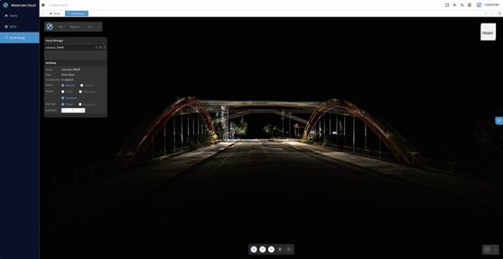
MetaCam Cloud
Real-time point cloud and 3DGS computation with online preview, supporting cloud collaboration and reducing local hardware dependency.