Description

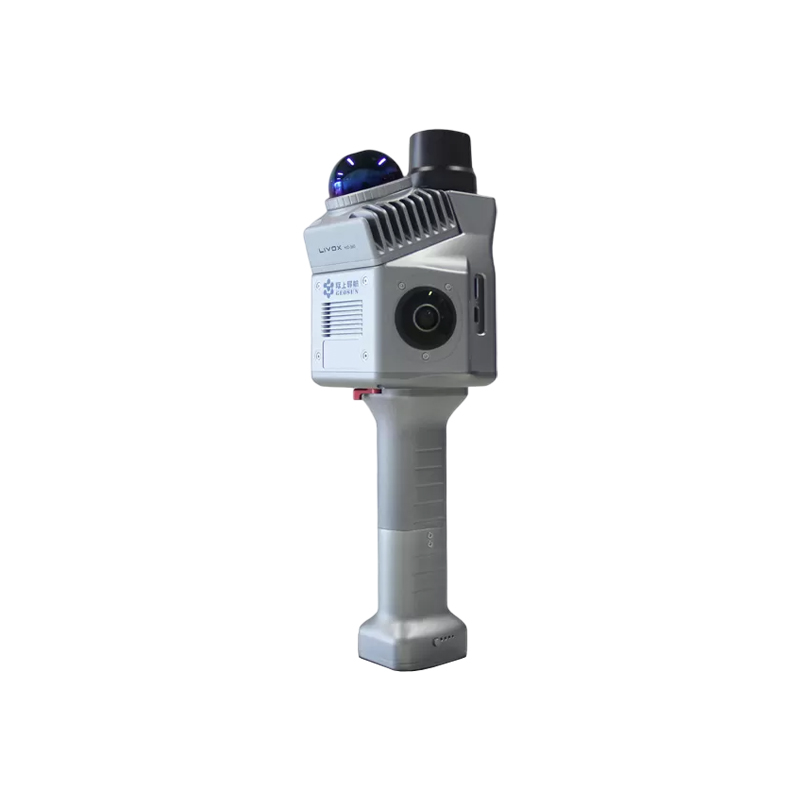
The GS-200G is a lightweight, high-performance handheld LiDAR system by Geosun Navigation. Featuring the
Livox Mid-360 sensor and advanced SLAM algorithms, it captures precise 3D point clouds in GNSS or GNSS
denied environments. Its compact design ensures easy mobility for indoor and outdoor mapping, including
urban surveys, infrastructure inspection, and digital twin modeling. Combining LiDAR, GNSS, and INS, the GS-
200G delivers reliable, seamless data processing across diverse applications.

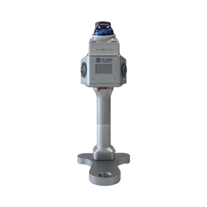
Lightweight & Flexible Operation
Designed specifically for handheld operation, the GS-200G features a compact and lightweight build, enabling operators to easily access confined, complex, or elevated work areas with minimal effort.
It supports rapid deployment and intuitive operational workflows, making it an ideal choice for rapid surveys, emergency mapping, and projects where vehicle-mounted systems are impractical or unavailable.
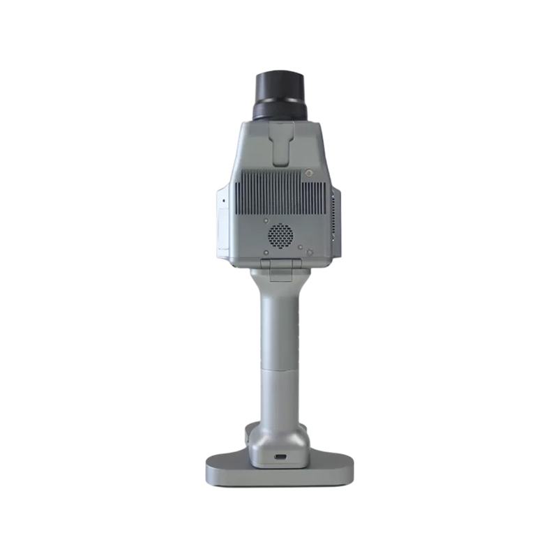
Wide-Coverage, High-Efficiency LiDAR
Equipped with the Livox Mid-360 LiDAR sensor, the GS-200G delivers a point cloud output rate of up to 200,000 points per second, with a 360° horizontal field of view and a 59° vertical field of view (ranging from −7° to +52°).
This wide coverage ensures consistent and comprehensive capture of walls, floors, ceilings, and surrounding structures, producing dense, uniform point clouds that are fully compatible with both indoor and outdoor mapping scenarios.
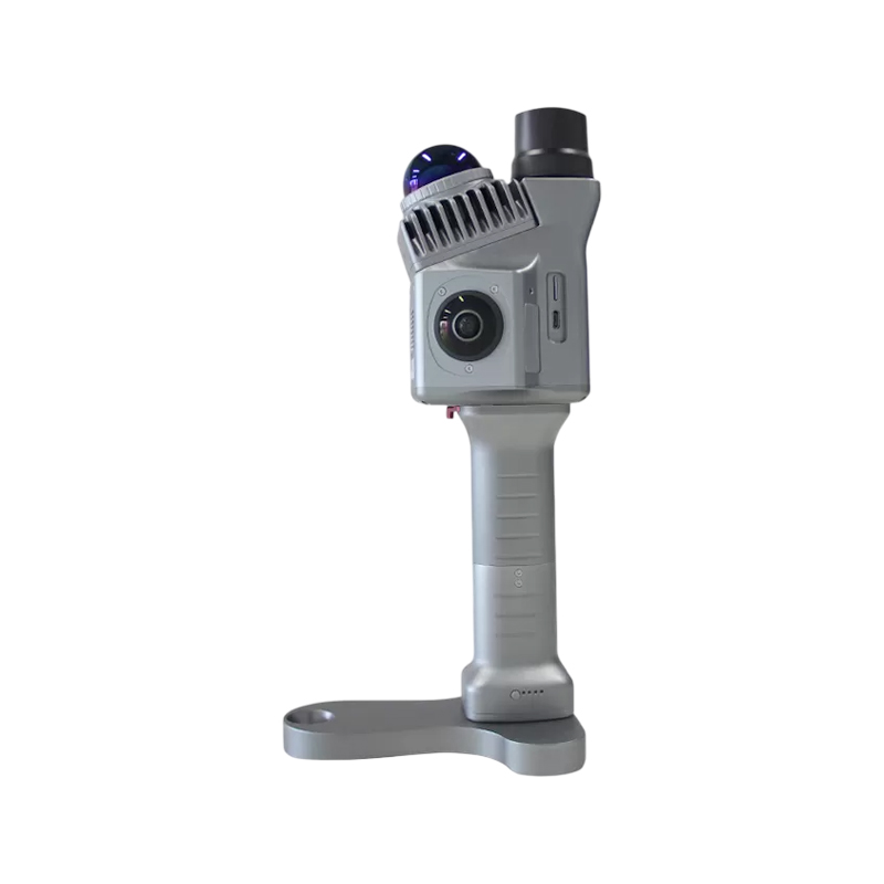
Reliable Data Quality for Mapping Applications
The system achieves a 3D measurement accuracy of ≤20 mm @10 m, with low-noise performance that fully meets the rigorous requirements of engineering surveys, BIM modeling, and asset documentation tasks.
Its stable point cloud quality enables the accurate extraction of key geometric features, including planes, edges, corners, and various structural components, supporting precise post-processing and modeling.
Efficient Data Processing & SLAM Workflow
The GS-200G supports real-time SLAM processing and seamless data export, providing convenient support for point cloud post-processing, modeling, and subsequent project analysis.
Its streamlined workflow effectively reduces on-site operation time and minimizes the reliance on ground control points, thereby significantly improving the overall efficiency of mapping projects.