
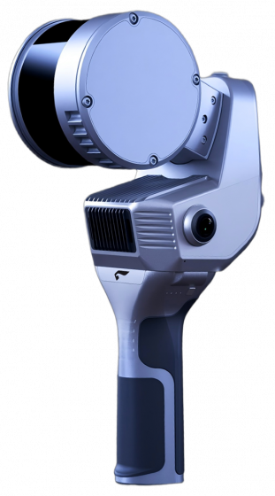


UAVManager
(professional version)
UAVManager is an one-stop GIS eco-system for UAV data acquisition ,processing, visualization and managment, and UAV maintenance. To address a range of applications, automatic and accurate flight planning based on real 3D terrain data are integrated to UAVManager for both fixed-wing UAV and multi-motor aircrafts. Moreover, 3D real-time monitoring, fast flight quality check, versatile pre-processing toolbox,robust accuracy control and automatic mapping, 4D+ 3D outputs, visual monitoring center,and cloud services for system upgrade, smart maintenance,information pushing etc.


Simple and Reliable 3d Flight Plan
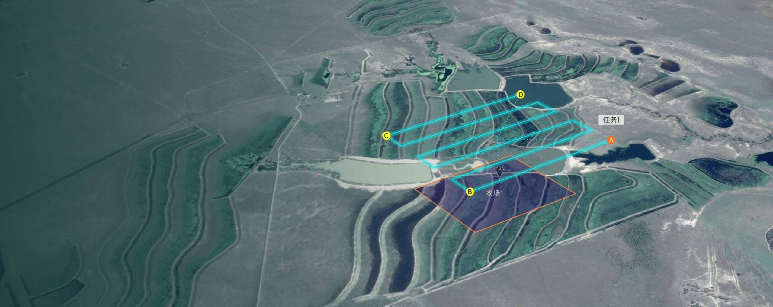
“SmartPlan” is a flight planing software for both fixed-wing and multi-rotor UAVs. According to the terrain undulation and the image acqusition requirements, accurate 3D terrain can be imported to help optimize flight plants and routes automatically. To address super large areas, automatic blocks segmentation and management for supported for boundary matching to streamline subsequent image processings.
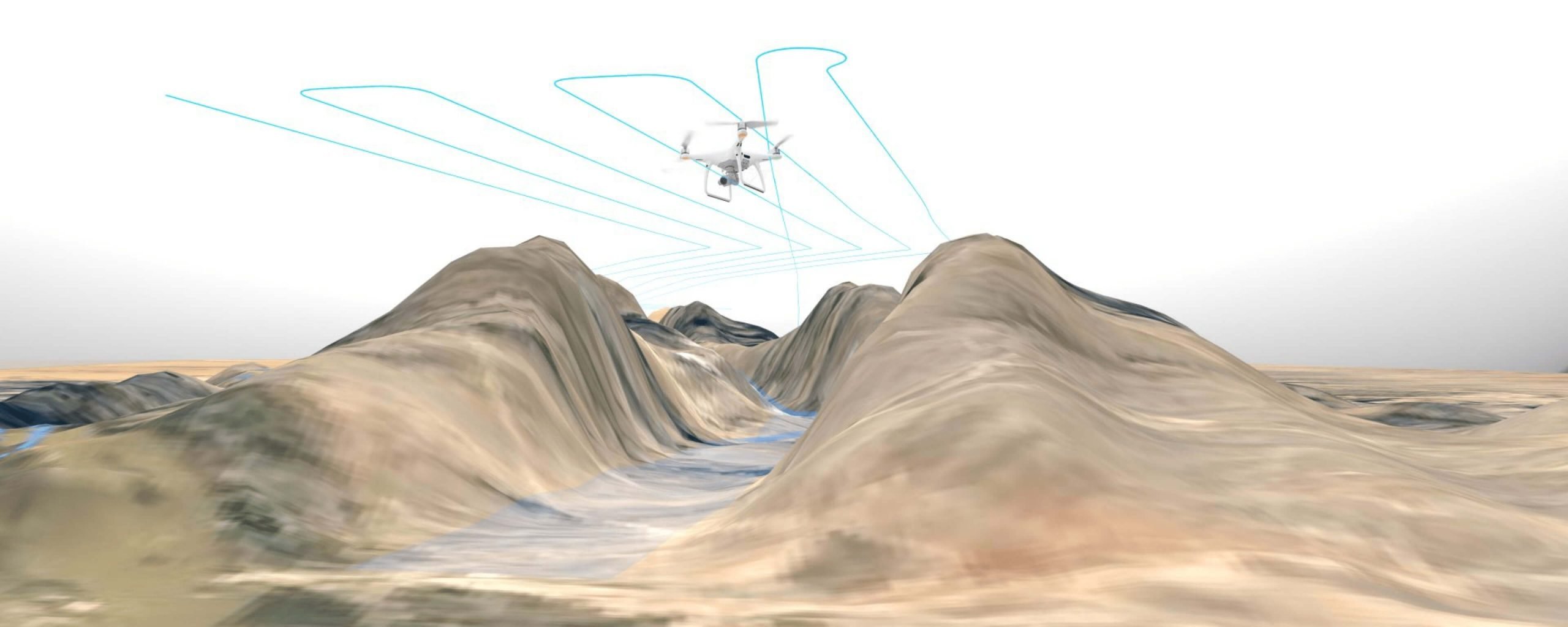
3d Flight Plan, Making the Design Easier and More Reliable

“SmartPlan” is a flight planing software for both fixed-wing and multi-rotor UAVs. According to the terrain undulation and the image acqusition requirements, accurate 3D terrain can be imported to help optimize flight plants and routes automatically. To address super large areas, automatic blocks segmentation and management for supported for boundary matching to streamline subsequent image processings.